Sunday 6th June, Part 1 A mostly cloudy Morning saw 18 (or was it 19) Cyclists split into 3 groups, leave via Lower Marsh, Berrylands, Tolworth & Greenway, Bonesgate path, Horton Country Park, West Ewell, Hogsmill open space
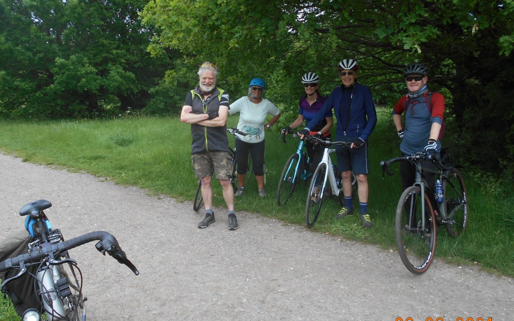
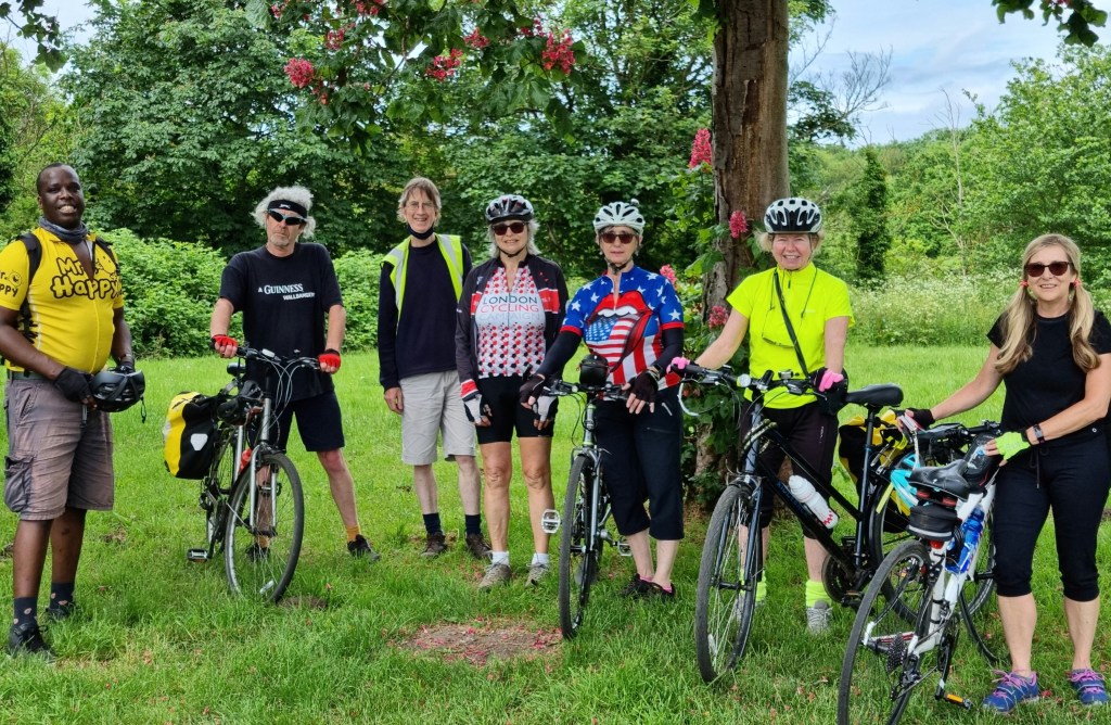
Group 1: Hogsmill open Space Group 2. Nonsuch Park: Bai K
(Photo 1), Stoneleigh, Nonsuch Park (Photo 2), to Cheam for lunch at ‘Ye Olde Red Lion’ (Stonegate), – with a little confusion among the staff on the billing front-, North Cheam, Worcester park, New Malden, Berrylands to Kingston. Sub total 17 Miles. Special thanks to Bai & Steve F for Group leading, thanks to Chris F, Andrea & Amy for back marking each group.
Part 2, A slightly brighter Afternoon, with late Sun, saying farewell to 7, but hello to 7 fresh faces, this time split into 2 groups of 9, after an admin mix-up, leave via Skerne Rd & Path, Thames towpath, Aerospace estate, Ham lands, Teddington Footbridge, Teddington, Bushy Park, Hampton Court Bridge, -with a small detatchment of group 2, extra thirsty, taking a short cut-, Molesey, to Molesey Lock Cafe, with a ‘sedate service’, for Tea & Bread pudding, Thames Ditton, Giggshill Green, Portsmouth Rd & Cycle track to Kingston. Sub total 11Miles, Total 28 Miles. Special thanks to Carl for group leading, thanks to Bai & John E for back marking, thanks to John D for the BP.
Sunday 23rd May. A Blustery day, with a few short but heavy Showers saw 15 Cyclist after 1 late cancellation, split into 1 Group of 8, 1 of 7, leave via Portsmouth Rd Track, Surbiton, Long Ditton, Hinchley wood, Esher, Fairmile, Cobham, Hatchford, Ockham, to Ripley for an early lunch at the ‘Jovial Sailor’, with a fantastic canopy covering most of the Garden, -very handy, because a short Deluge from above, & somehow Group 2 got fed first, so they could leave first-, Send Marsh, passing the remains of Newark Priory, Pyrford, West Byfleet, Byfleet (where another Deluge for gropup 2, let group 1 almost catch the tail, thus time for a group 1 Photo),
Group 1 Brooklands ParkGroup 2, Wey Bridge, from Brooklands Park: Carl S
Weybridge, Broadwater path, with a Fallen Tree, anyone got a Chainsaw ?, can’t go around it, can’t get under, we’ll have to lift our Bikes over the obstruction, now ‘Groupo Compacto’ as the Giro de Italia riders might say, to Walton Bridge for Tea & Bread pudding at ‘Wilde Bunch’, Walton on Thames, Molesey, Thames Ditton – with Group 1 Leader not watching the tail, so initially unaware that 1 person had suffered a mechanical, leading to an alternaive route home- (a reminder to keep an eye on the back marker, even if we are almost back to the finish), Portsmouth Rd & track to Kingston. Total 34 Miles, Special thanks to Carl for leading group 2, thanks to Steve D & Mike F for Back marking each group, Thanks to John D for the BP. Map:- www.plotaroute.com/route/1559849.
Note: For those familiar with the New Malden Raynes Park link, Kingston & Merton Council’s are looking for a name for this delightful route, there is a short-list of 4, I believe a 5th option will be added soon, but for now here is the link, open until June 2nd:- https://kingstonletstalk.co.uk/name-the-route , after further thought, Beeline way will be an added option.
Wednesday 19th May after a few Showers, a largely Bright evening saw 8 Cyclists, with 2 late cancellations, leave via Cranes park, Tolworth -including a short stretch of the new Cycle Path-, Old Malden, Motspur park, Raynes park, to New Malden for Refreshments at Woodies,- with a visit from a ‘Special guest’,- then Norbiton, Kingston & the new Bridge next to Kingston Station, to finish back at the Market place. Total 12 Miles, 1 face returning after a very long interval, thanks to Mike for Back marking.
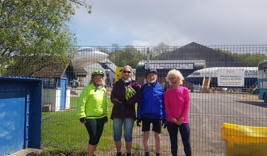
Wednesday 12th May, A largely Sunny day, with a few light Showers, saw 15 Cyclists, with 1 cancellation, split into 3 groups of 5 leave via Portsmouth Rd Track, Thames Ditton, Molesey, Walton on Thames, Weybridge, Brooklands Park,
Group 2, Brooklands Museum and Concorde’s nose: Mags Mckinlay
Byfleet, New Haw to Addlestone for lunch at the Pelican, a lovely Wey Navigation side Pub, Chertsey Meads, Chertsey Bridge, Shepperton, Sunbury, Hampton, Bushy Park for Tea & refreshments, Hampton Wick, Kingston Bridge. Total 30 Miles 2 new faces, special thanks to Mags & Mike F for group leading, thanks to Dave P, John E & Steve F for back marking each group. Alas it was Raining the couple of times I thought about a Photo for group 1, but if any others have Pics to share, do let me know.
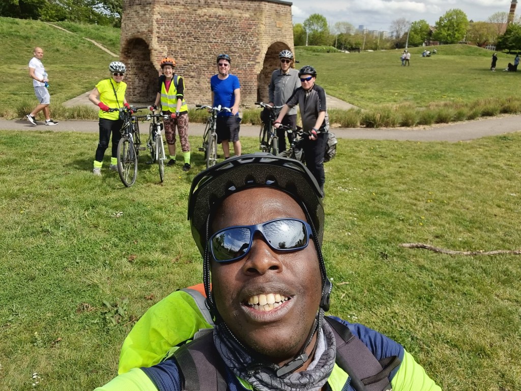
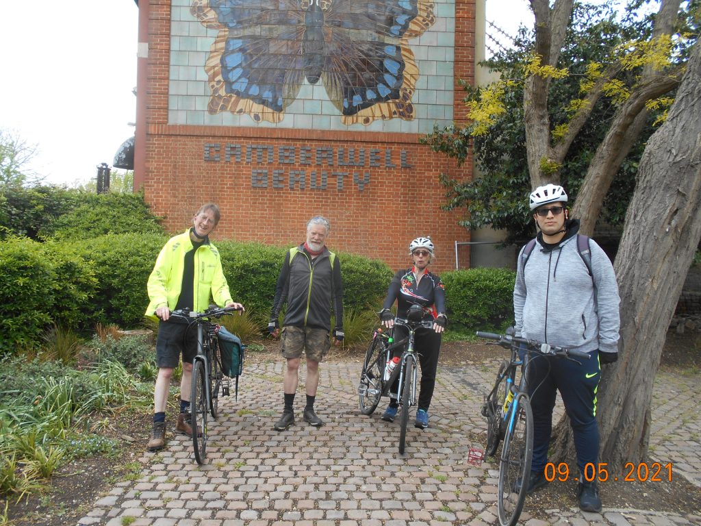
Sunday 9th May, a very pleasant sunny day, much warmer than of late, saw 23 Cyclists, with 1 cancellation, split into 4 groups, but all groups seemed to play a version of Musical chairs at various stages of the day, (group 2 not being quite ready, so they were demoted to group 4). Leaving the Market place via Fairfield, Norbiton, New Malden, Raynes park, South Wimbledon, Wandle path, Earlsfield, with Group 3 suffering a visit from the ‘P Fairy’ meaning Group 4, now became group 2 ?, Wandsworth Common, Clapham Common, Vauxhall, Camberwell to Burgess Park for a Picnic lunch, pausing earlier at the Lime Kiln, the Camberwell Beauty Mosaic & also ‘Silent Raid’, an Art installation in memory of a Zeppelin raid from WW1,
Group 2 or was it 4 ? with the Lime Kiln, Burgess ParkGroup 1 with the Camberwell Beauty, Burgess ParkGroup 3 Brockwell Park
continuing via the Surrey Canal Path, Peckham, Dulwich, Brockwell Park, where an unfortunate coming together between 2 members of group 3, with 1 Bike unridable, & a slight Shoulder injury, meaning a Taxi ride home was the best option, thanks to members of Group 2/ 4, (if you’re keeping up), for there assistance, meanwhile ahead, due to an impromptu Loo stop, group 4/2 had briefly taken the lead, which was a surprise for group 1, Tulse Hill, Streatham Hill, Tooting Bec Common for a Tea & Bread pudding stop, Tooting, Mitcham, Morden Hall Park, Morden, Morden Park, Lower Morden, Motspur park, New Malden, Berrylands, to finish back at Kingston. Total 34 Miles. Special thanks to Bai, Carl, & Steve F for group leading, thanks to Toni, Steve D, Ellie & John E for back marking each group, thanks to John D for the BP.
CasualtyUpdate: Having spoken to Tom this Afternoon, he is in good spirits, looking forward to getting back on the Bike & joining us on a ride in the near future.
Thursday 29th April. Well there’s a thing, KCC having a Midweek evening ride on a Thursday, but as Pubs are still adjusting their opening & closing times, it seemed the best idea this month. A Bright, if slightly chilly evening saw 16 Cyclists gather, after 2 late cancellations, with 1 extra from the wait list, split into 3 groups, at 5 Min intervals, go via Kingston Bridge, Bushy Park, Lion gate, Hampton Court Bridge, to East Molesey for refreshments at the always reliable Bell, with 1 special guest already waiting, then, Thames Ditton, Long Ditton, Surbiton, to Kingston. Total 8 Miles, 2 new Faces, special thanks to Jon & Ralph for group leadership, thanks to John E, Andrea & Steve F for back marking each group.
The Kingston cycle network has evolved hugely over the past 5 years. This has taken a lot of thought and planning and has created a very varied borough in terms of infrastructure and the quality of that infrastructure. Here are three things, in no particular order, that I like and dislike about cycling in the borough of Kingston.
Three good pieces of infrastructure in Kingston:
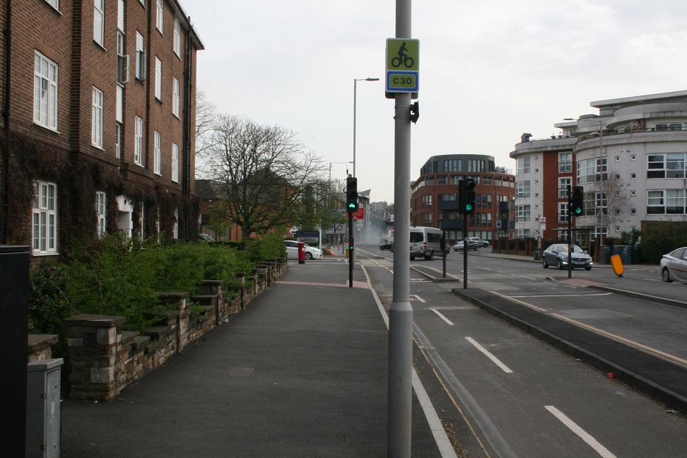
Cycleway 30 (C30) between the Norbiton roundabout and Wilko, Kingston
This cycleway in north Kingston is one of the most complete and comprehensive cycle routes. It provides a safe link between Norbiton and the commercial centre of Kingston. Once you arrive in Kingston, you can link onto C29 going north to Kingston Station or south towards Tolworth. It will also link to Cambridge Road for a route towards New Malden once that project has received funding.
The cycleway is two-directional on one side of London Road, is fully segregated, with traffic lights at crossings and signage all along the route. The route allows you to bypass multiple traffic lights, including the Cambridge road junction which poses a risk to beginner cyclists.
The stretch of cycle route isn’t without its criticisms, however. There has been lots of scrutiny of the junctions with Gordon Road and Birkenhead Avenue. There is a lack of clear signage for drivers that the cycleway has priority. As a result, drivers encroach out into the cycleway, creating risk for injury. This would be rectified by adding more obvious signage or moving the current signage to a more primary position in full view of the driver.
2. The lowered curb by Kingston railway station
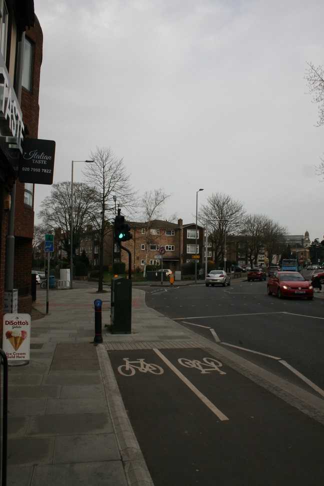
The dropped kerb reduces congestion on the crossing
Although a small detail, the lowered curb on the crossing of Sopwith Way is one of the most well thought-out changes since the introduction of the Mini-Holland scheme. It allows easy access to the segregated cycleway under the bridge. The presence of a route for cyclists also limits overcrowding between the two traffic light poles during peak hours – an essential consideration due to social distancing. The presence of a lowered curb is a highlight in an otherwise forgotten 1990’s era cycle route.
3. Low Traffic Neighbourhood on Lower Ham Road
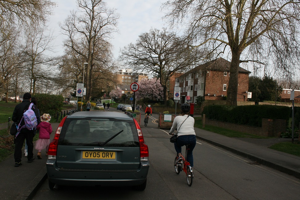
A new no-through route makes Lower Ham Road feel much safer
One of the most recent changes in Kingston has been the introduction of Low Traffic Neighbourhoods (LTNs). These have come in the form of ‘modal filters’ that only allow pedestrians and cyclists through, but block cars to prevent the streets being used as short-cuts. The most effective example of this has been the modal filter introduced on Lower Ham Road beside Canbury Gardens park. This was built with the intention of preventing cars from using Eastbury, Chestnut and Woodside Roads to avoid Richmond Road. The road closure has had a positive impact and appears to have encouraged more cyclists to use the road. It creates a low traffic route from the centre of Kingston to the boundary with Richmond.
Three not so great pieces of infrastructure in the borough:
4. Cycleway 30 (C30) from Crescent Road to the A3
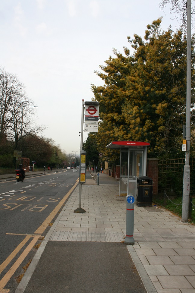
Shared space at a bus stop is far from ideal
This new stretch of cycleway stretching along Kingston Hill has been one of the most talked about and controversial pieces of cycle route built recently. Stretching over the hill and down to the A3 to the Robin Hood junction, the cycleway has been split so there is one lane on each side of the road. The cycleway is continuously segregated for the whole stretch.
Most of the controversy has come from the placement of the cycleway to cut through the bus stop platforms. There is a risk of conflict between pedestrians waiting or boarding the bus and cyclists coming down the cycleways. There is also inadequate signing to warn people waiting for the bus that the space is shared with cyclists. In addition, the bus timetable signs are placed awkwardly to the point where they become a hazard for cyclists coming down the route. To rectify this, I would change the bus stops to have islands, much like the bus stop near Kingston University on Penrhyn Road, and include a pedestrian crossing to alert people of bike traffic.
Another one of the issues in my opinion is that the cycleway doesn’t link up to any good onward cycle route. Unlike the above mentioned earlier part of the C30 route, once you are at the Robin Hood junction, you lack options for where to go. This is especially inconvenient for commuters, who would benefit from a proper link into the centre of London, instead of the poorly thought out LCN 3 route.
5. Cycleway (C29) A240 Surbiton Road crossing
Putting the cycleway on the other side of the road would have avoided this problem
C29 was the most complicated cycle route in the new Mini Holland project and it isn’t without its faults. The crossing near the junction of Surbiton Road and Penrhyn Road is one of those. Coming from the north, the cycle track suddenly changes into shared pavement space, increasing risk of conflict between pedestrians and cyclists. There is then a shared “Toucan” crossing to the other side of the road.
After crossing the road, cyclists have to dodge a telecoms box, pillar box and a bus shelter before turning right to join Surbiton Crescent. I would have kept the cycle track on the northeast side of the road past the shops to a signalled crossing to Surbiton Crescent.
6. Clarence Streetbike-free zone
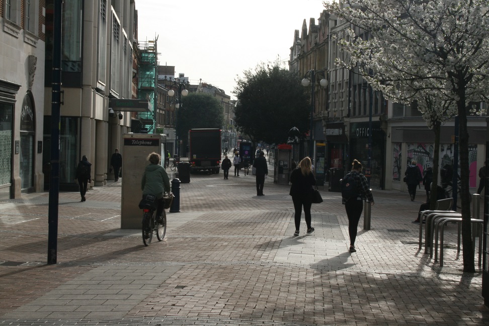
Current rules permit delivery lorries but not pedal cycles on Clarence Street.
Clarence Street is by far the busiest area in Kingston town centre. Despite this, it lacks proper cycle infrastructure. The pedestrian-only street is off limits to cyclists, however the “Cycling prohibited” signs are small and obscure. Despite its off-limits nature, Clarence Street is used as a direct east to west link for cyclists to and from Surbiton, Hampton Wick and Kingston Station. Cycling is permitted on nearby Castle Street which is narrower and in the Market Place which is busy throughout the day
In my opinion, there should be a cycleway that goes along Clarence Street with kerbs and pedestrian crossings to ensure minimum friction between cyclists and pedestrians. This would create links between C29, London Cycle Network (LCN) routes 74, 75, 3 and 33 with Kingston Bridge.
Wednesday 21st April, A bright Sunny day, with too much cloud in the afternoon, saw 16 Cyclists, split into 3 groups leave via Kingston Bridge, Bushy Park (helped by a nice Tailwind), Hampton, Hanworth, Feltham, (group 2 took a slightly longer route, catching group 3, just as g3 had a visit from the ‘P fairy’, so g2 stayed ahead), Ashford, Staines upon Thames, Staines Bridge, Egham, Stroude, Thorpe Green, to Lyne for a Picnic lunch at ‘the Royal Marine’, Bretlands, Addlestone -alas the Wind was still mostly an Easterly, so now a Headwind-, Victory Park (alas group 1 Photo did not record properly 😦), Weybridge, Broadwater Path, to Walton Bridge for Tea & refreshment at Wilde Bunch, Walton on Thames, Molesey, Thames Ditton, Portsmouth Rd track to Kingston. Total 31 Miles, 1 new face, 1 visit from the ‘P fairy’, Special thanks to Mike F & Pete M for group leading, thanks to Steve F, Dave P, & John E for back marking each group.
Kingston Station is at the heart of Kingston’s cycling network. It’s the site of a new multi-million pound cycle hub, the brand new Wheatfield Way and nearby Old London Road Mini-Holland routes, and other bike routes linking to the town centre and north along Richmond Road. But only a hundred metres away, a planning application has been submitted to rip out the existing protected bike lane. So what’s going on?
Kingston Gate is a proposed development, building over a car park and an adjacent busy road. The developers propose diverting this traffic onto Richmond Road, but they want to remove the bike lane in order to do so. This will completely sever this cycle route, and their proposed diversion on the pavement around the back of the shops for people cycling is a waste of time. In the second phase of development, they say, they will demolish this row of shops, and they say they will then put a northbound cycle path back in.
But there’s a real risk that Phase 2 won’t even happen. If Phase 1 goes ahead as planned, there is no obligation on the developers to apply for the permission required for Phase 2. Even if they do, there’s no obligation to actually construct it – planning applications go unbuilt for all kinds of reasons. And most worrying of all, they don’t even own any of the properties that would need be demolished for Phase 2 to go ahead. This means the supposedly temporary loss of the protected bike route would become permanent.
This has to be stopped before it gets started, or we could lose this route completely. The Council should be upgrading this route in the first place – it’s a key link in their existing plans, and they should be providing protected space for southbound cycling, never mind retaining the northbound protected route throughout any planned works. Richmond Road is a key cycling artery, both now and for the future.
It’s not too late for the developers to change their proposals, or for the council to reject them. But for this to happen we need your support.
How to Object
Kingston Cycling Campaign have already submitted our detailed objection to this scheme – covering much more than the problems covered here. But the best way to ensure this route is kept is for everyone to add your own objections – we know from experience that the more objections, the more weight is given to them.
Visit the application on the council’s website: 19/02323/FUL
Fill in the form, and pick “Object” as your stance
Tick “Access or traffic problems”
In the comment, say that you object to the proposal on the grounds of Road Safety, that you object to the removal of the protected bike lane on Richmond Road during any phase of construction, that you object to any reinstatement being dependent on subsequent phases which may not go ahead and you object to there being no consideration of a southbound protected bike lane being added at any stage of the project or in the future.
Note that comments have to be submitted by the end of Wednesday 21st April – so please take a minute and submit yours right now!
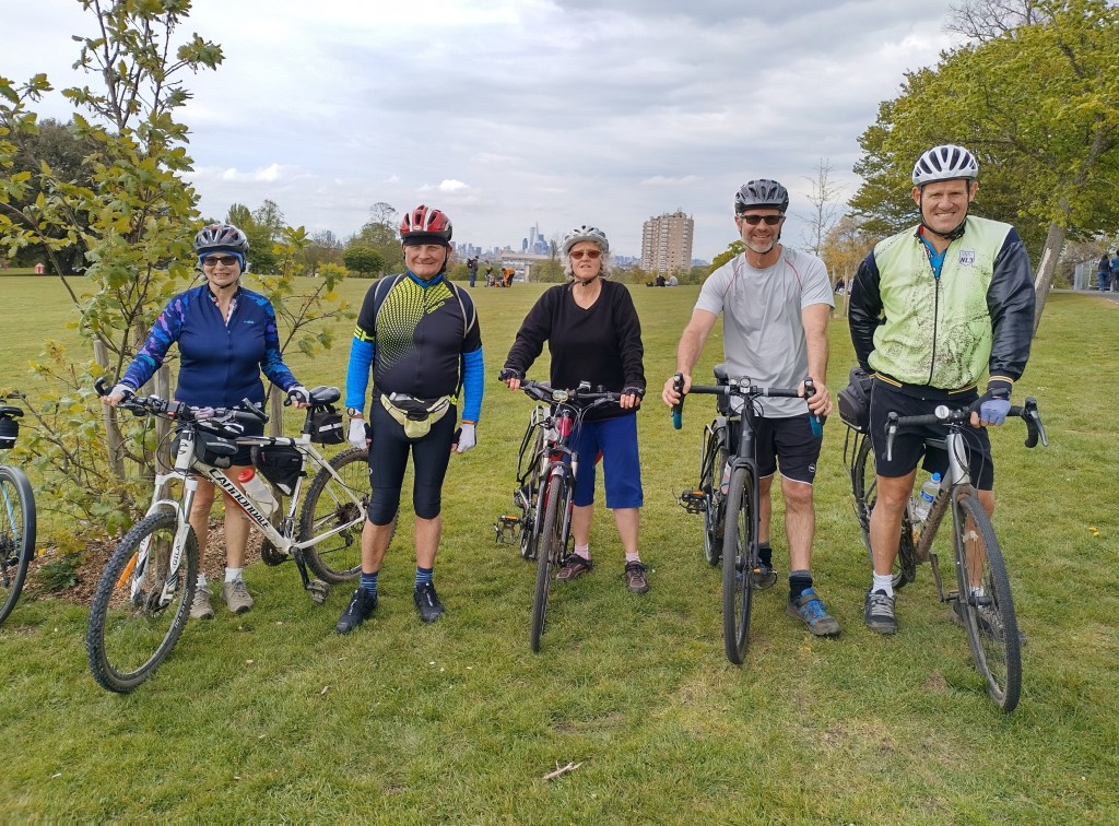
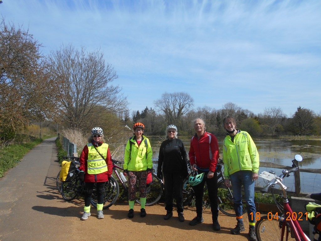
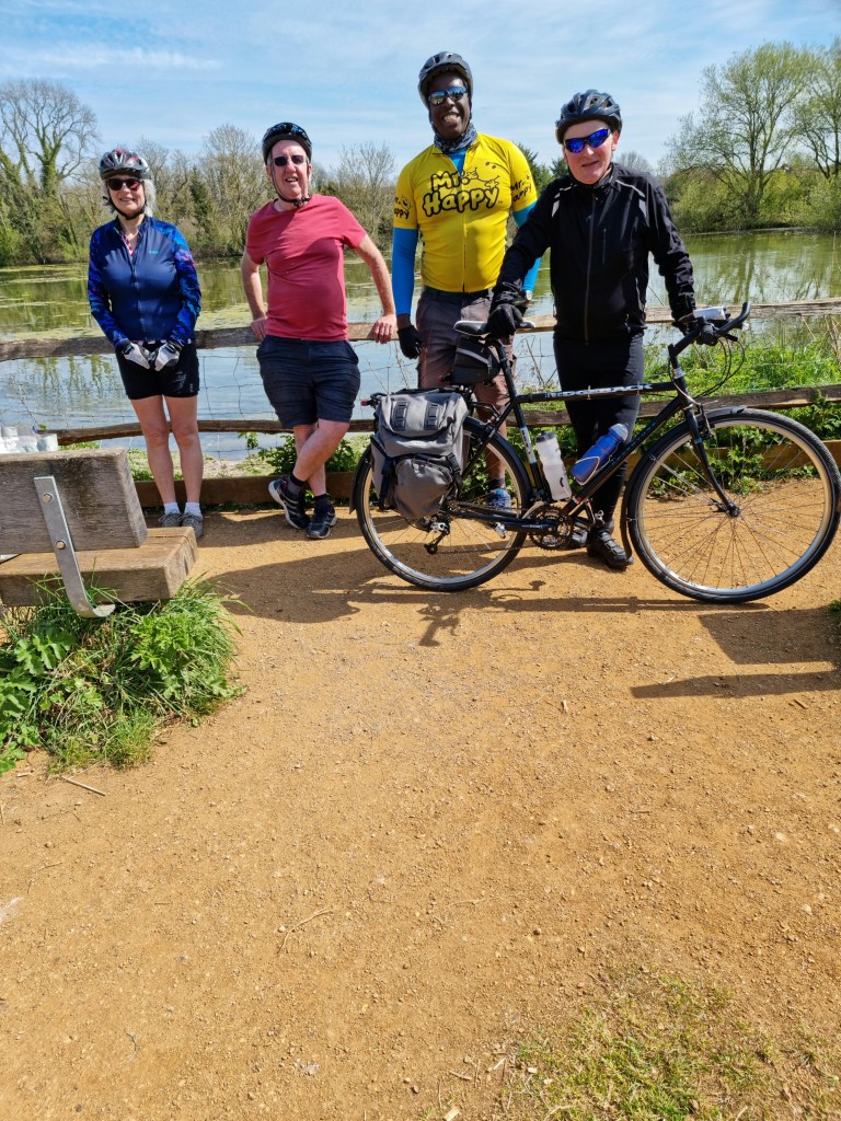
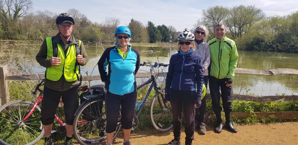
Sunday 18th April. After another long break, a glorious Sunny Day saw 23 Cyclists, find 4 Leaders, so at 5 Minutes apart, via Portsmouth Rd Track, Long Ditton, Hinchley Wood, Claygate, Claremont -would the group leaders remember the clue-, Fairmile, Cobham, Hatchford, Ockham to West Horsley for a ‘Picnic Lunch’ at the ‘Barley Mow’, (as it was quite a struggle to find many Pubs doing Food just yet, after the latest Lockdown), Horsley Common (Photo), Effingham, Bookham, Fetcham & Pond (Photo’s Group’s 1, 2, 3 of course great minds think alike 😉), Ashtead, Epsom Common, Epsom, West Ewell, Stoneleigh, to Auriol Park for Tea & A Sumptuous Bread Pudding, Worcester park, New Malden, Berrylands to Kingston. Total 34 Miles, Very special thanks to Bai, Mags & Steve F for group leading, thanks to Mike, Andrea, Will & John E for back marking each group, special thanks to John D for the BP.
Group 4 Horsley CommonGroup 1 Fetcham Mill PondGroup 2 Fetcham Mill PondGroup 3 at erm…., Fetcham Mill Pond




 Kingston Cycling Campaign