We planned to write about what could happen after Kingston’s Mini-Holland (or ‘Go Cycle’) programme of cycle and walking improvements came to an end. However, since our look in February at how Kingston and Cambridge Road could become safer, the world has changed. The top priority for travelling is now ensuring sufficient space for social distancing. This post looks at what this could mean for Kingston.
The problem
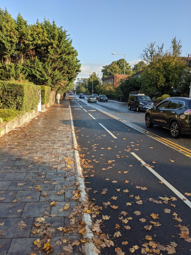
42% of all journeys in Kingston are made by car; 20% by public transport; 4% by bike; 33% by walking and 1% by other means (Source: 2019 Cycling in Kingston Report). However, with Covid-19, public transport capacity is currently significantly reduced. If just a small percentage of journeys switched from public transport to being taken by car, then Kingston’s roads are not going to be able to cope worsening Kingston’s air quality problem. Instead of switching to even more journeys by car, Transport for London are encouraging people to walk or cycle wherever possible. However, despite the Go Cycle (Mini-Holland programme), many of Kingston’s main roads remain unsafe for people cycling as they lack any measures separating people cycling from motor vehicles.
Away from the main roads, many of Kingston’s residential roads remain busy short cuts as they allow cars, vans (and often lorries) to save a minute or so on their journey by avoiding main roads and passing along local streets. With residential roads still clogged with this traffic, it makes it more difficult to keep to social distancing requirements as it can be unsafe to walk in the road (which is needed due to many narrow pavements) whilst these busy roads discourage walking and cycling too.
So what are the answers?
Enabling more walking and cycling would reduce the pressure on Kingston’s roads whilst encouraging healthier and more sustainable travel. There are a number of ways walking and cycling could be supported (as well as assisting with social distancing) and the rest of this post looks at some of the measures that could be used.
- Low Traffic Neighbourhoods
- Safe space for cycling
- 20mph limits
- School streets
- Wider pavements
- Reduced crossing times
Low Traffic Neighbourhoods
As already mentioned, many of Kingston’s residential roads remain open to through traffic allowing cars, vans and lorries to take short cuts along residential streets to their destination instead of keeping to main roads.
Low Traffic Neighbourhoods can prevent motor vehicles using residential streets as short cuts by blocking their routes. This can be done very cheaply, for example installing a couple of bollards or, like in Croydon and Lewisham, putting in some planters. Residents, deliveries and emergency services can all still access the streets but through traffic is prevented from using the short cut and has to keep to the main roads.
By keeping short cutting traffic to the main roads, it makes the residential streets quieter and safer. Where there are narrow pavements, it becomes easier for people to walk in the road to maintain a sufficient distance from each other. The ‘blocks’ used to stop short cutting cars allow people cycling to pass through which allows safer cycling routes to be quickly created too as these roads are no longer full of cars and vans cutting through. There are examples already in Kingston that were put in place many years ago like on Springfield Road or Woodbines Avenue.
Kingston Council had already proposed introducing a Low Traffic Neighbourhood near Hook Road as part of their Healthy Streets plans. In addition, Transport for London has recently published a map of areas it thinks in Kingston could be made into Low Traffic Neighbourhoods based on their size.

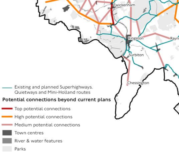
TfL map of possible Low Traffic Neighbourhood locations in Kingston Source
This includes the Hook Road area (already identified by the Council); Hook; parts of Surbiton and New Malden; and North Kingston.
We have asked that the Council accelerates its plans for the area near Hook Road and looks at the other areas in the Borough which would be suitable for Low Traffic Neighbourhoods.
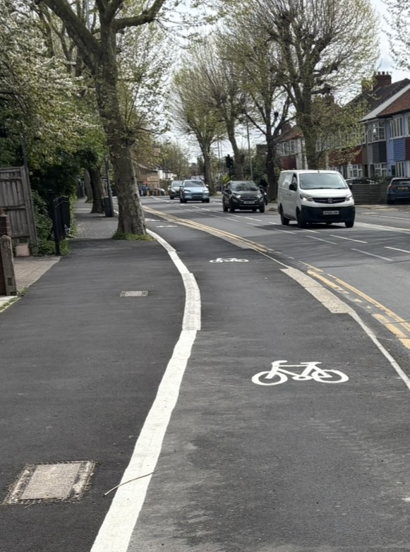
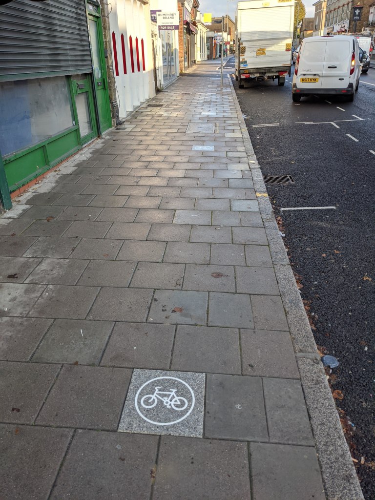
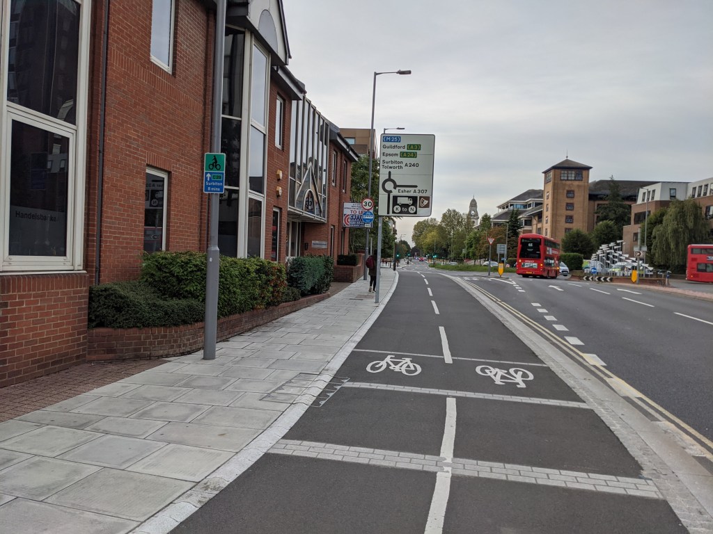
Safe space for cycling
To encourage people to travel by bike for their journey, they need to feel safe doing do so. Kingston’s Mini Holland (or Go Cycle) programme has been upgrading many of Kingston’s main roads to provide safe space for cycling separated from motor traffic. However, this programme was due to finish next year with many Borough roads still untouched.
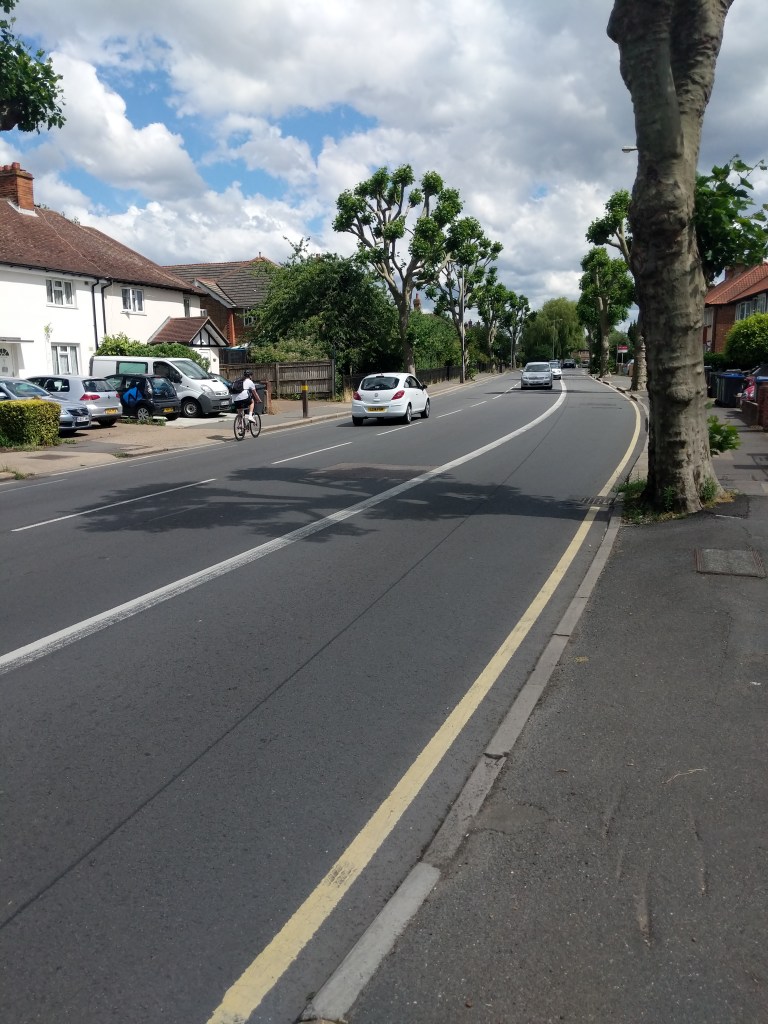
Transport for London did have additional funding available for London Borough’s looking to extend their cycle networks and could have provided additional funding to extend the safer cycle routes to more of Kingston’s roads. TfL were prioritising those listed in its Strategic Cycling Analysis as likely having the biggest impact. For Kingston, this included Richmond Road (Kingston to Ham); Queen’s Road (to Richmond Park); Coombe Lane (Kingston to Raynes Park); Brighton Road & Hook Road (Surbiton to Hook); and Malden Road (New Malden to Worcester Park).
Transport for London’s Strategic Cycle Analysis: Source
However, TfL has recently updated this map to include those cycle routes that it will be prioritising in the short term to provide safer space for cycling given the increased urgency there now is. In Kingston these routes include Malden Road (New Malden to Worcester Park) and Coombe Lane (Kingston to Raynes Park), dropping the other routes mentioned in the previous analysis. The map also includes prioritising Kingston Hill/Vale (though the Go Cycle route here is almost complete) and notes a safer cycle route on Kingston/Cambridge Roads is already planned.
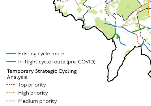
Transport for London’s Temporary Strategic Cycling Analysis: Source
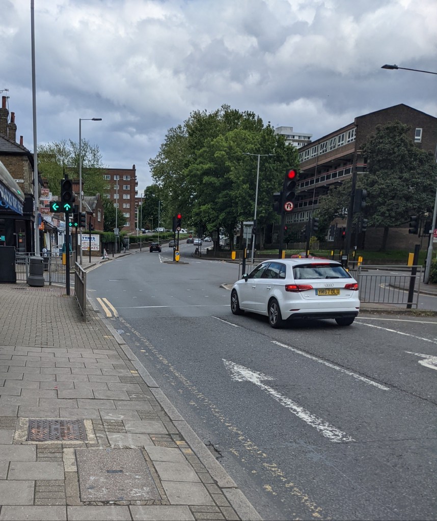
We ask that the Council works with TfL to prioritise improvements to the Borough’s roads for safer cycling. In particular, TfL’s initial outline of priorities seem to exclude large parts of the Borough including Hook, Chessington and North Kingston. It is also unclear that TfL will be prioritising a safe cycle route for the Borough’s residents into the City. There is an indirect route marked via Raynes Park but this also requires use of Kingston/Cambridge roads where there isn’t (yet) a safe cycle route.
It is also currently unclear whether the current circumstances have implications for the Mini Holland (or Go Cycle) programme that was due to finish next year. Although some schemes are now finished, others still have parts to complete whilst another is awaiting the beginning of construction. Given these Mini Holland routes have been identified and agreed as providing big benefits to people cycling (and walking), it is important that these projects are funded to completion and if possible, accelerated to give quicker benefits.
It’s worth noting that other London Boroughs are moving ahead with plans to install segregated cycle lanes quickly, for example with temporary barriers or ‘wands’ on roads which are already wide enough for cycle lanes. These can be relatively inexpensive and are quick to install. They can also be upgraded to permanent measures at a later date.
Kingston Council needs to work with TfL to accelerate plans for Kingston/Cambridge road improvements and ensure the remaining Mini Holland projects are completed as soon as possible. It should also work to obtain additional funding for further segregated cycle lanes (temporary or permanent) across the rest of the Borough.

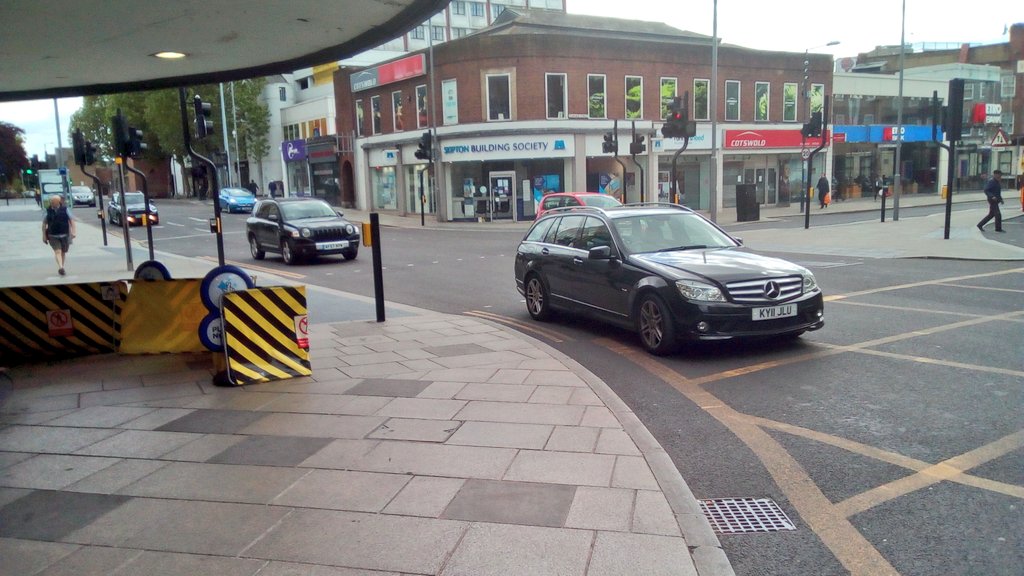
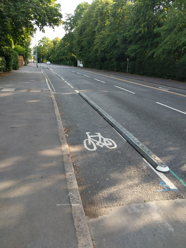
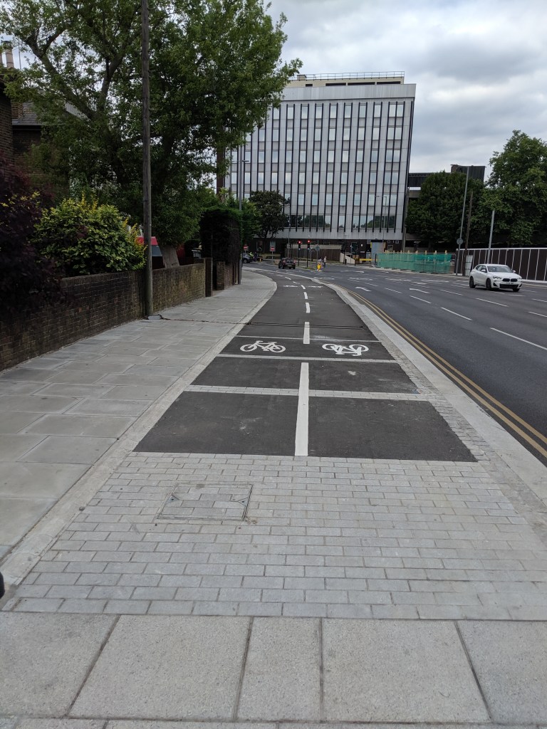
Malden Road. People cycling are not adequately separated from motor vehicles but there is room to do so
20mph roads
Kingston Council launched a Borough wide 20mph consultation on 6 January 2020. This consultation proposed to introduce a 20mph limit on all roads in Kingston noting that the highest proportion of injuries on the Borough’s roads occurred on main roads and therefore it was important these were included too for the biggest potential benefit.
If it had not been for recent events, we would have been expecting the results of this consultation to have been published and for the Council to be making its first steps towards implementing any plans it had agreed (taking into account comments from the consultation). We still don’t know what the consultation results are. However, we think it is now even more important that these proposals go ahead. Reducing speeds on roads across the Borough will encourage people to walk and cycle whilst making it safer for them to do so.
We await news from the Council on the 20mph consultation though note that our neighbour Richmond has been rolling out 20mph limits to nearly all its roads whilst Merton continues to extend 20mph limits to the majority of its roads too.
Borough wide 20mph limits are an obvious way to reduce traffic speeds to support safer walking and cycling. We therefore hope the Council will announce steps to implementing its proposals shortly.
School streets
School streets are now found across London and Kingston’s first can be found on Mansfield Road (for Lovelace Primary School). These school streets prevent access for cars at drop-off and pick-up times for children (sometimes with an exception for residents for the street). This means that children cannot be dropped off outside the school gates encouraging parents to take their children to school on foot or by bike. By reducing the volume of motor vehicles, it also makes the road outside the school much safer for walking and cycling further encouraging people to use sustainable travel types.
Kingston Council had previously proposed to extend its school streets programme to four more streets including:
- Oak Hill Terrace
- South Bank Road
- Alexandra Road
- Latchmere Road
We ask that the Council rolls out the required measures to these streets in time for any return to school by children. School streets usually just require a couple of signs; notification to parents and local residents as well as a camera for enforcement. There are many other potential school streets in the Borough so we also ask the Council to look at these as soon as possible too.
Wider pavements
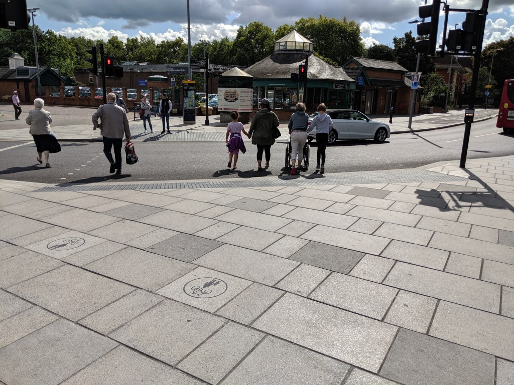
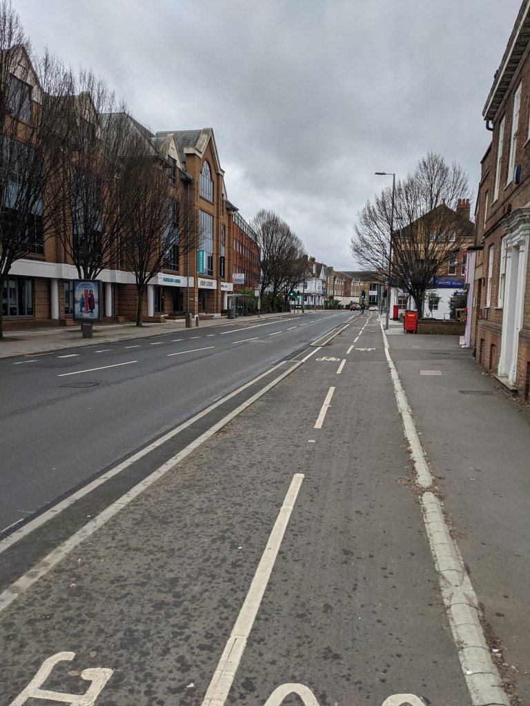
One option to provide more space for social distancing is to provide more pavement space. A number of other London councils have recently introduced temporary barriers to increase pavement space including in Lambeth and Greenwich. In many cases, additional pavement space can be made by taking car parking spaces or excess carriageway space. Examples could include Victoria Road (Surbiton) which is usually a busy shopping street but has narrow pavements in places alongside a number of car parking spaces or along Clarence Street near Wilkos where a narrow shared pavement reduces the ability for people walking and cycling to stay apart whilst the carriageway is 3 lanes (or around 9 metres) wide.
Shared pavement outside Wilkos, Kingston narrowed by barriers being used by the store to ‘aid’ social distancing
Kingston Council could also consider suspending any pavement parking in busy areas (particularly where it is unsafe to walk in the road) which would allow people greater space to pass each other on the pavements. One busy area of Kingston with pavement parking is King’s Road near Richmond Park which often has many people walking to and from the park.
Update (22 May 2020 at 7.30pm) – Kingston Council have announced that they will be introducing temporary barriers to provide more space for walking and cycling along certain parts of Clarence Street, Fairfield North, Wheatfield Way and Kingston Bridge in the next ten days. Our map of these roads can be found here.
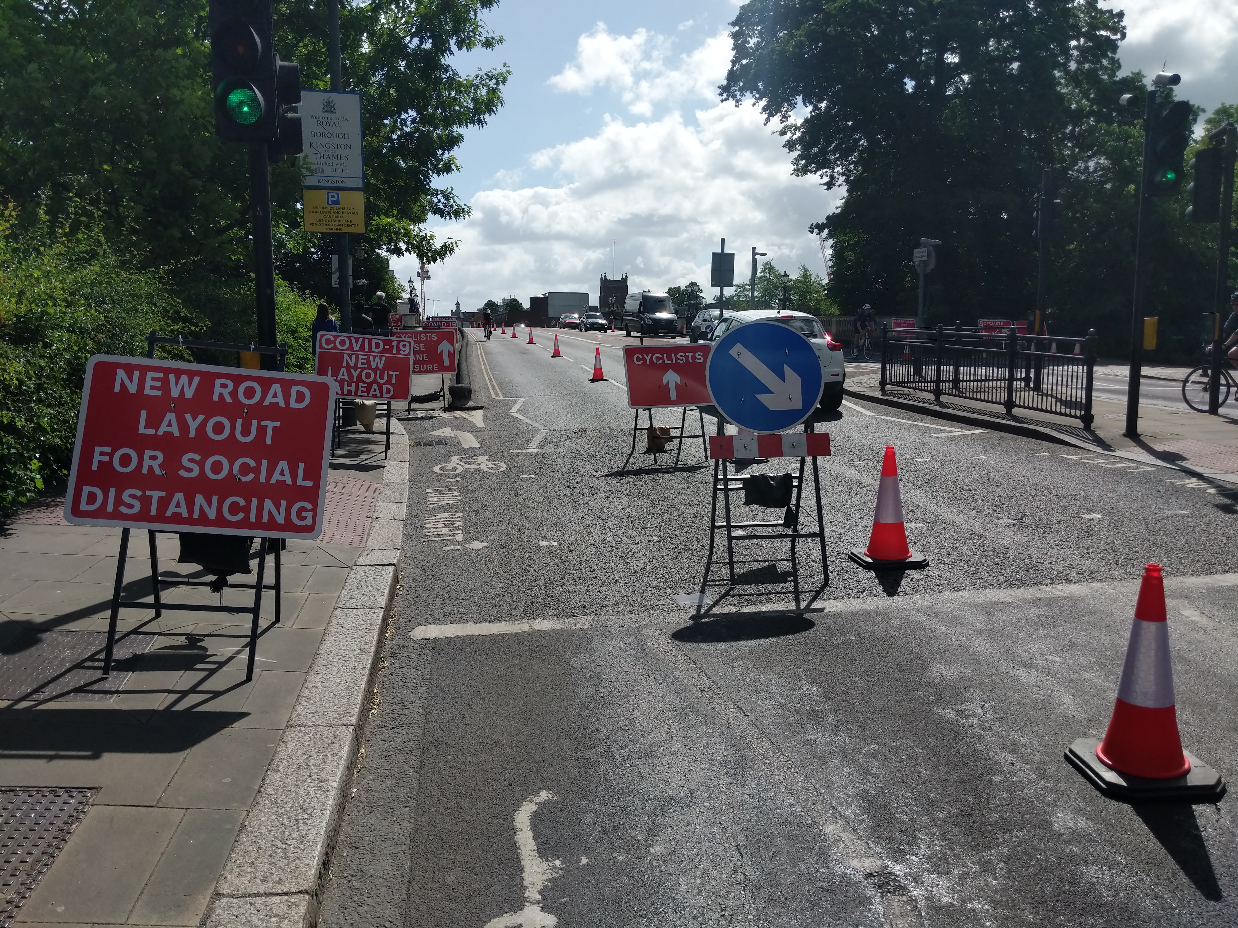
Update 23 May 2020. To aid social distancing, overnight one vehicle lane in each direction on Kingston Bridge has been dedicated to people cycling
Reduced crossing times
People walking and cycling often have long waits at crossings over roads as traffic lights are usually timed to prioritise motor vehicles. This can lead to long waits as well as large gatherings of people waiting to cross. One easy change would be to reduce the wait for people walking and cycling. This will reduce waiting times, decrease the likelihood of people crossing when it’s unsafe as well as encouraging people to walk and cycle.
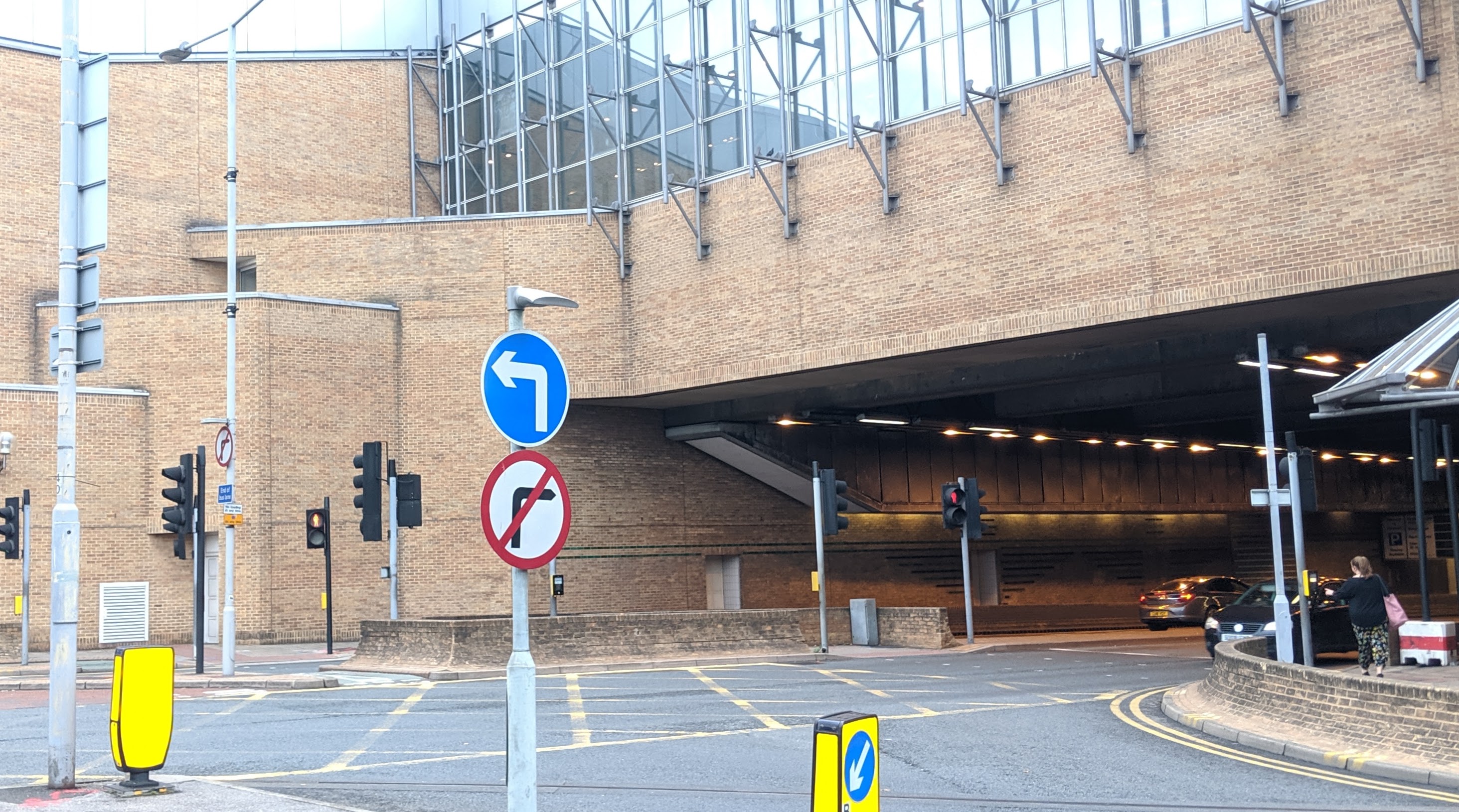
Traffic signals in London are the responsibility for Transport for London. However, the Council could work with TfL to prioritise traffic signals which need their timings revised. Just a few of the examples of crossings which currently have long waits include:
Summary
There are a large number of measures Kingston Council could take to assist walking and cycling in the Borough reducing the pressure on the roads and assisting with social distancing. We have passed lots of ideas to the Council and hope that these will be swiftly introduced.
In the meantime, Kingston’s Go Cycle programme to introduce safer walking and cycling routes on main roads has been continuing with the Kingston Hill/Vale route nearing completion and the Ewell Road scheme reaching the junction with Langley Road. We await news on whether the timescales for the remaining Go Cycle programme have changed.


![Notice saying this cycle parking will be [temporarily] removed](https://i0.wp.com/kingstoncycling.org.uk/wp-content/uploads/2019/09/img_20190922_120646.jpg?w=408&h=306&ssl=1 "IMG_20190922_120646")
